Look beyond the headline distance
A published trail total tells only part of the story. A professional training group needs to understand which loops connect to the stadium, which remain open under different conditions and which can be used without conflicting with other users. Two networks of similar length may offer very different combinations of sustained climbing, technical descents, flatter movement and return options.
Start with a map that distinguishes dedicated training routes from public recreational trails. Then compare the map with the operator's current status information. A line on a map does not establish that a section is prepared, accessible or included in a team's permission to train. Seasonal closures, forestry work and event preparations can all change the usable network without changing the published overview.
Read the terrain as a connected sequence
Individual climbs and descents matter, but their order matters too. A climb followed by a long return to the stadium produces a different training sequence from one that finishes near the controlled interface. Coaches may need repeatable loops with manageable regrouping points rather than a single demanding circuit. Facility planning should therefore document how terrain segments combine, not simply classify them separately.
Junctions deserve particular attention. A branching network can create valuable session options while also increasing wayfinding demands. Route identifiers should remain legible in winter conditions, and staff should have a consistent way to describe a location when communicating about a delay or an incident. Informal names understood by local athletes may be unfamiliar to a visiting team.
Connect variety with manageable access
Canmore Nordic Centre Provincial Park in Alberta and Soldier Hollow Nordic Center in Utah are established Nordic-sport settings that help illustrate why surrounding terrain and venue operations need to be considered together. Their published trail and visitor information should be checked directly before planning a visit. Neither a well-known venue name nor a history of major events guarantees a particular training configuration.
European settings such as Kontiolahti in Finland, Hochfilzen in Austria and Pokljuka in Slovenia offer further points of comparison. The useful exercise is to identify how each stadium relates to its surrounding landscape. Avoid ranking them through isolated elevation or distance claims unless those figures come from equivalent, current sources and describe the same kind of route.
Treat grooming as an operating system
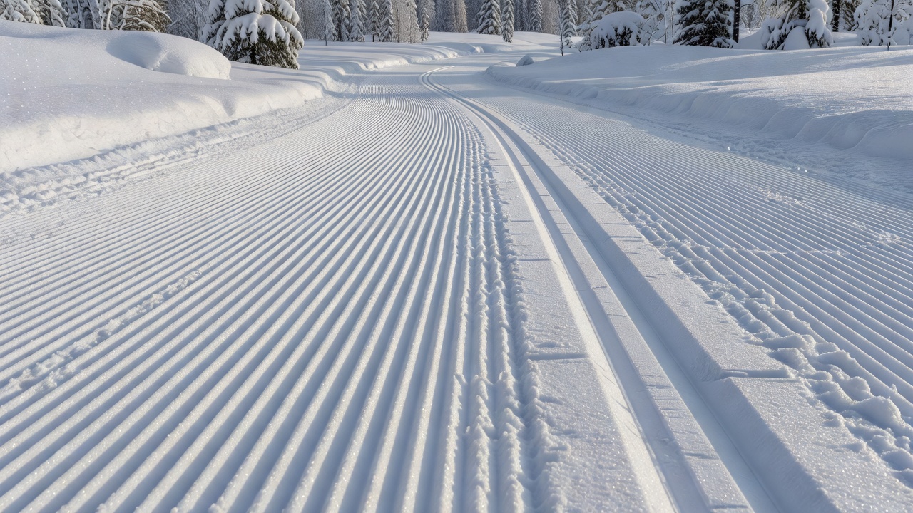
Preparation is more than a finish applied to the trail. It requires machinery access, staff time, suitable weather and coordination with users. A route that is practical to groom at night may have different constraints during daytime training. Service access and turning areas should be understood without assuming that maintenance vehicles can share an active training corridor.
Snow condition also changes the relationship between the designed route and the surface athletes actually encounter. Thin cover, thawing, refreezing and wind redistribution can alter which sections are usable. Ask how the operator communicates changes and whether reduced configurations preserve a coherent return to the stadium. A shorter, clearly managed network can be more useful than a larger one with uncertain continuity.
Plan for mixed users without relying on guesswork
A professional training complex may sit within a broader recreation area. Walkers, recreational skiers, organized teams and maintenance crews can have different expectations about direction, speed and access. The facility response should be explicit: designated routes, appropriate separation, clear information and arrangements suited to the actual activities. Visitors should not infer permission from the presence of other users.
Recovery loops and easier return routes can help a coach manage a varied group, but they should not be confused with emergency provision. Emergency access needs a venue-specific plan, reliable location references and arrangements that account for terrain and winter conditions. This website does not assess rescue capability or certify route suitability for an individual athlete.
Compare evidence, not impressions
Build a comparison around the same questions for every venue: usable route options, stadium connectivity, maintenance arrangements, public access boundaries and current operating conditions. Record where each answer came from and when it was checked. Photographs can explain landscape character, but they are weak evidence for current opening status, surface quality or the permissions attached to a route.
The International Ski and Snowboard Federation publishes cross-country competition information, while the International Biathlon Union provides the biathlon context. Competition rules and homologation processes are specific frameworks; they should not be presented as a general guarantee that every training use is suitable. For a practical visit, the venue operator remains the source for the available network and its conditions of use.